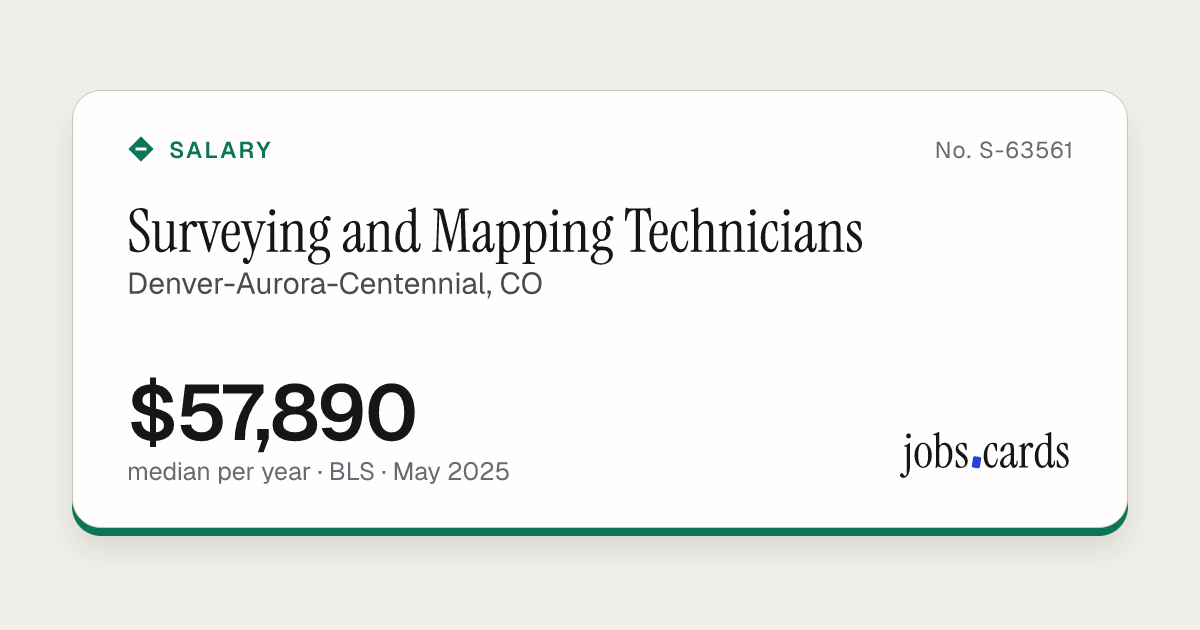
Surveying and Mapping Technicians
Denver-Aurora-Centennial, COGovernment job code 17-3031
Market pay · all workers · BLS, May 2025
- 10th
- $46,160
- 25th
- $46,290
- Median
- $57,890
- 75th
- $67,450
- 90th
- $79,320
Government wage levels · wage year 2026-27
- Level I
- $45,906
- Level II
- $52,666
- Level III
- $59,405
- Level IV
- $66,165
The four pay levels the Department of Labor sets for this job in Denver-Aurora-Centennial, CO. Yearly figures are the hourly level times 2,080 hours.
Filed pay
Fewer than 10 certified full-time filings for this job here, so there is no filed-pay figure.
- People in this job here
- 1,510
- Against the U.S. median
- +7%
- Mean pay per year
- $59,480
Where This Card Comes From
- Pay percentiles and people in this jobMay 2025 dataU.S. Bureau of Labor Statistics, Occupational Employment and Wage Statistics, metropolitan area table, SOC 17-3031
- Wage levelsWage year 2026-27U.S. Department of Labor, OFLC wage-level tables, Denver-Aurora-Centennial, CO
- Job description and common titlesO*NET 31.0O*NET 31.0 Database, USDOL/ETA, CC BY 4.0
We show the government's numbers as published. Yearly pay is the hourly figure times 2,080 hours. Nothing is modelled or guessed. The U.S. comparison uses the national median for the same job code.
This page includes information from the O*NET 31.0 Database by the U.S. Department of Labor, Employment and Training Administration (USDOL/ETA). Used under the CC BY 4.0 license. O*NET® is a trademark of USDOL/ETA.
Content hash 16b7ac7a · first dealt Nov 16, 2026 · last changed Nov 16, 2026