Search job, employer or placeSearch cards/Check an Offer
SalaryNo.S-06675

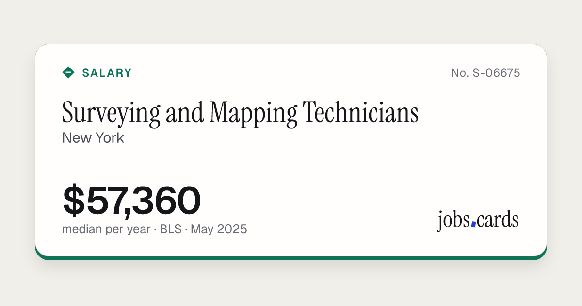
Surveying and Mapping Technicians

New YorkGovernment job code 17-3031

Market pay · all workers · BLS, May 2025

$57,360median pay per year · $27.58 an hour
10th
$44,830
25th
$47,170
Median
$57,360
75th
$65,060
90th
$81,990

Government wage levels

Wage levels are set for each local area. Open a metro card for this job to see them.

Filed pay

Fewer than 10 certified full-time filings for this job here, so there is no filed-pay figure.

People in this job here
2,540
Against the U.S. median
+6%
Mean pay per year
$59,670
Source: U.S. Bureau of Labor Statistics, May 2025 data · checked Nov 16, 2026
SourcesNo.S-06675

Where This Card Comes From

We show the government's numbers as published. Yearly pay is the hourly figure times 2,080 hours. Nothing is modelled or guessed. The U.S. comparison uses the national median for the same job code.

This page includes information from the O*NET 31.0 Database by the U.S. Department of Labor, Employment and Training Administration (USDOL/ETA). Used under the CC BY 4.0 license. O*NET® is a trademark of USDOL/ETA.

Content hash efa9b32f · first dealt Nov 16, 2026 · last changed Nov 16, 2026
Save as Image Compare

jobs.cards/c/S-06675

What Does This Job Pay in New York?

Surveying and Mapping Technicians in New York earn a median of $57,360 a year, according to the U.S. Bureau of Labor Statistics survey for May 2025. Half earn between $47,170 and $65,060. The lowest-paid tenth earn under $44,830 and the highest-paid tenth earn over $81,990. These are government survey figures, not estimates from ads.

Checked Nov 16, 2026Source: U.S. Bureau of Labor Statistics

What Surveying and Mapping Technicians Do

Perform surveying and mapping duties, usually under the direction of an engineer, surveyor, cartographer, or photogrammetrist, to obtain data used for construction, mapmaking, boundary location, mining, or other purposes. May calculate mapmaking information and create maps from source data, such as surveying notes, aerial photography, satellite data, or other maps to show topographical features, political boundaries, and other features. May verify accuracy and completeness of maps.

Common job titles: Field Surveyor, Land Survey Technician (Land Survey Tech), Land Surveyor, Mapping Editor, Mapping Technician (Mapping Tech), Photogrammetric Technician (Photogrammetric Tech), Rodman, Stereoplotter Operator, Survey Technician (Survey Tech), Surveying Technician (Surveying Tech).

This page includes information from the O*NET 31.0 Database by the U.S. Department of Labor, Employment and Training Administration (USDOL/ETA). Used under the CC BY 4.0 license. O*NET® is a trademark of USDOL/ETA.

The Same Job in Other Places

All Places for This Job

Embed This Card

Paste this where you want the card to appear. It stays up to date.